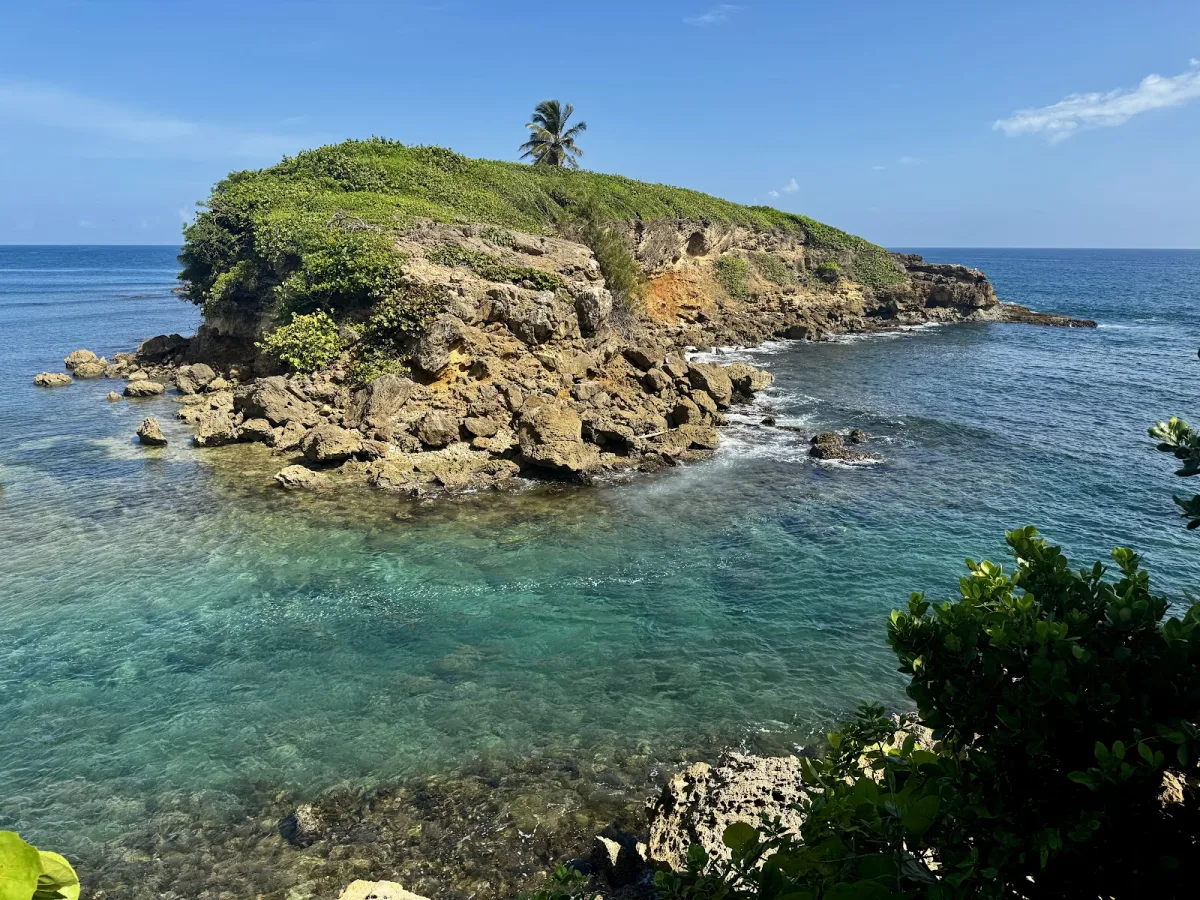
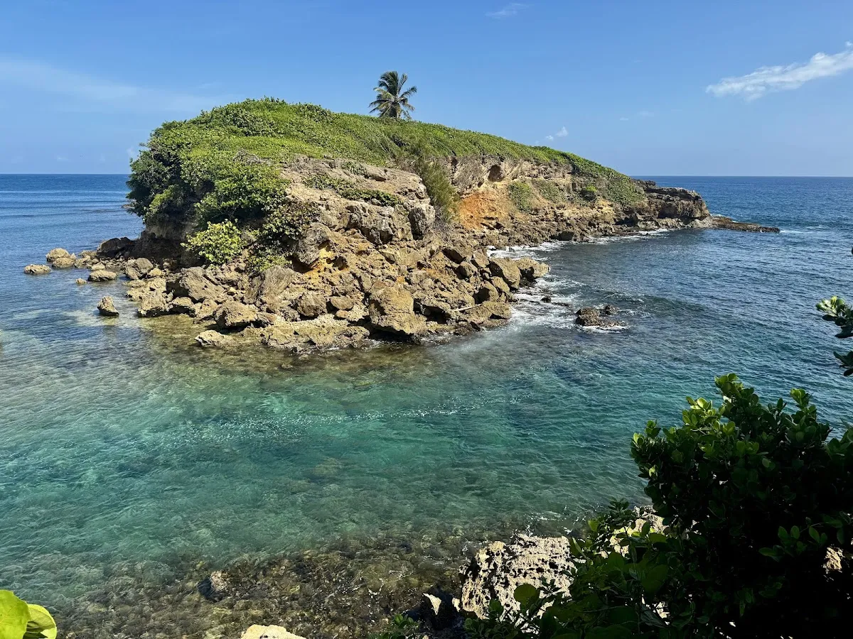
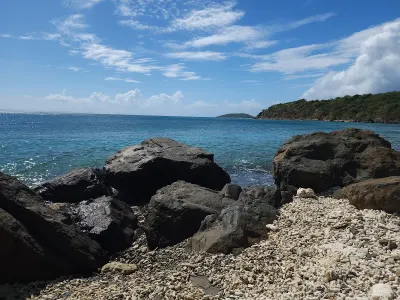
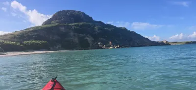
Cerro Gordo West Point is a beach in Vega Alta, Puerto Rico, known for scenic views and snorkeling. Facilities include parking.
- Scenic
- ✓ Parking
Short path.
Best season: December through April offers the most pleasant weather with lower humidity.
Swim with a buddy and know your limits.
Bring water, shade, and food for the day.
Ways to experience Cerro Gordo West Point
Bookable tours and activities at and around this beach.
 Viator photoPopular near this beachSan Juan: Small-Group Snorkeling Experience with PickupDon't let other companies fool you! Transportation, entrance fees and gear are included in our price! Book with us, save money and feel relief!…✓ Free cancellation✓ Gear includedFrom $94Check availability ↗Browse more tours on Viator ↗
We may earn a commission when you book through Viator links, at no extra cost to you.
About Cerro Gordo West Point
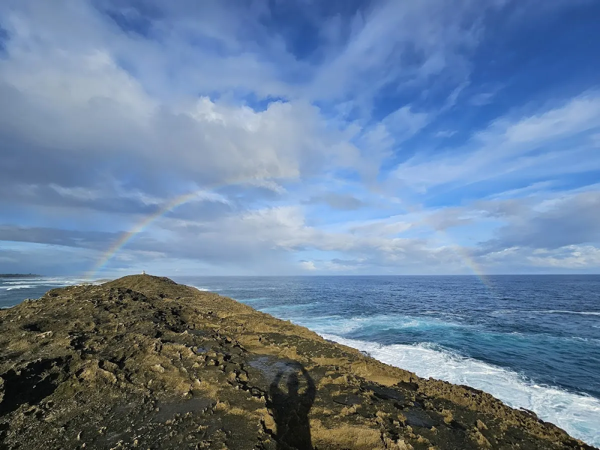
Cerro Gordo West Point is a rocky promontory in Vega Alta on Puerto Rico's north-central coast, roughly 30 minutes west of San Juan. This scenic snorkeling destination features exposed rock shelves, tidal pools, and pockets of clear water on calm days, home to reef fish, corals, and sea fans. The rugged terrain requires water shoes and caution due to strong surge during Atlantic swell periods. Best visited during summer months when conditions are calmest.
Local tips
What to Bring+
Essential Protection:
- Water shoes with thick soles are non-negotiable. The rocks are rough, covered in algae, and sea urchins occupy nearly every crevice. Booties designed for reef walking offer the best protection.
- Reef-safe sunscreen and reapply often. The rocky terrain lacks shade, and you'll be exposed to direct sun.
- Hat and sunglasses for your time on the rocks between swims.
Snorkeling Gear:
- Mask, snorkel, and fins are essential for underwater viewing. Fins help you navigate surge and currents near rock formations.
- Rash guard protects against scrapes from rocks and fire coral.
- Reef gloves add an extra layer of hand protection.
Safety and Supplies:
- Drinking water and snacks in a small backpack (food vendors are a 10-minute walk away).
- First aid kit with tweezers (for urchin spines), antiseptic, and adhesive bandages.
- Vinegar in a small bottle can help with urchin spine removal.
- Dry bag to keep your phone and valuables safe from spray.
History & Background+
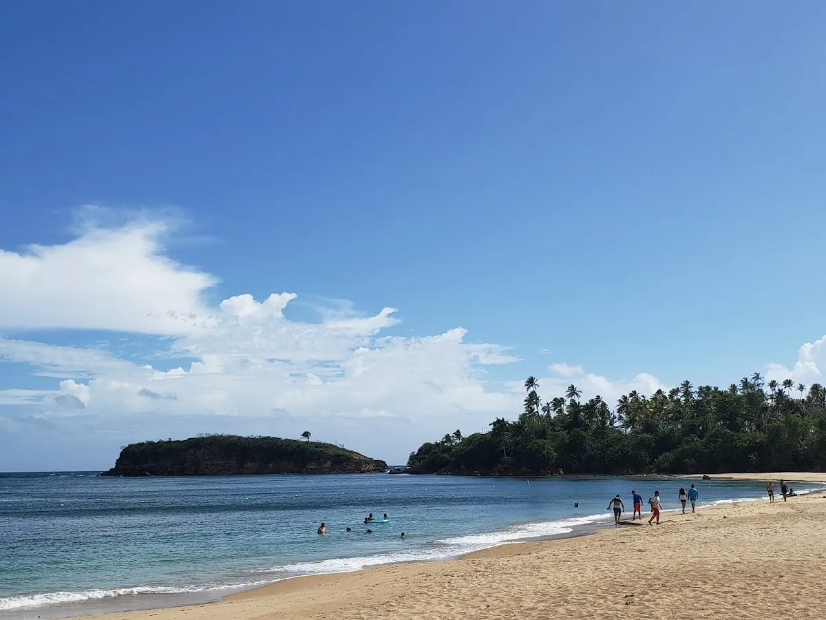
Cerro Gordo West Point sits at the western edge of the Cerro Gordo public beach complex in Vega Alta, a municipality on Puerto Rico's north-central coast roughly thirty minutes west of San Juan. The point itself is a rocky promontory that extends into the Atlantic, creating a natural boundary between the main Cerro Gordo beach to the east and a more rugged, less-visited stretch of coastline to the west. Unlike the sandy, family-oriented main beach, the West Point area is characterized by exposed rock shelves, tidal pools, and scattered pockets of sand between coral-encrusted boulders.
Vega Alta was founded in 1775 as a separate municipality from neighboring Vega Baja. The town's economy centered on sugar cane cultivation in the fertile lowlands south of the coast, with the shoreline serving primarily as a fishing area for local families. In the 1970s and 1980s, Puerto Rico's government invested in developing public beach facilities through the Compañía de Parques Nacionales, transforming Cerro Gordo into one of the north coast's most accessible public beaches. The West Point, however, remained largely undeveloped due to its rocky terrain.
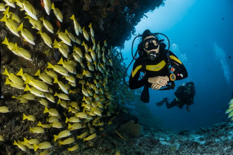
The underwater environment includes encrusting corals, sea fans, fire coral, and reef fish including sergeant majors, parrotfish, and blue tangs. Sea urchins are abundant in rock crevices, indicating reef health but posing a practical concern for visitors. The north shore receives direct North Atlantic swells from fall through spring, making the West Point dangerous during periods of elevated swell, as surge channels between rocks can trap or push swimmers against hard surfaces.
Nearby Attractions+
The immediate area offers diverse attractions for a full day of coastal exploration and cultural immersion.
- Cerro Gordo Beach (Main Beach) – Immediately east of the West Point, featuring a wide sandy beach with lifeguards (weekends), restrooms, showers, picnic shelters, and food kiosks. One of the north coast's best family beaches when conditions are calm.
- Dorado (15 minutes east) – Home to the Dorado Beach Resort (Ritz-Carlton Reserve) with the Positivo Sand Bar restaurant open to non-guests for beachfront dining, and the Museo y Centro Cultural Casa del Rey, a restored eighteenth-century building chronicling the town's sugar cane heritage.
- Cibuco River (Vega Alta) – Supports kayaking and paddleboarding excursions through mangrove-lined channels. Guided tours explore the river's ecosystem, including manatees, kingfishers, and mangrove crabs.
- Cueva del Indio (Manatí, west) – Archaeological site with Taíno petroglyphs carved into limestone cliffs overlooking the ocean. Includes a short walking trail along the cliff edge.
- Arecibo Lighthouse and Historical Park (further west) – Family-oriented attraction with ocean views, a small aquarium, and replica pirate ships.
Photos
Be the first to add a photo
Recent photos help others recognize the access point, water, and parking setup.
Reviews
No Puerto Rico Beach Finder reviews yet
Share whether access was easy, how the water felt, and what the next person should know.
Planning your visit
Explore by activity
Nearby beaches
Questions
Where is Cerro Gordo West Point located?
Cerro Gordo West Point is located in Vega Alta, Puerto Rico. The exact coordinates are 18.4813, -66.3591. You can use GPS navigation or follow signs to Vega Alta and look for beach access points.
Is Cerro Gordo West Point good for swimming?
Yes, Cerro Gordo West Point is a public beach open for swimming.
What facilities are available at Cerro Gordo West Point?
Cerro Gordo West Point offers the following facilities: Parking.
What activities can I do at Cerro Gordo West Point?
Popular activities at Cerro Gordo West Point include snorkeling. The beach is perfect for a day trip from Vega Alta.
Is there parking at Cerro Gordo West Point?
Yes, Cerro Gordo West Point has parking available.
Similar beaches
Discover more beaches
Explore 400+ beaches across the island with filters, maps, and detailed guides.
Explore all beaches