Litoral North Pocket Mayaguez, Puerto Rico
Quick Facts
About Litoral North Pocket
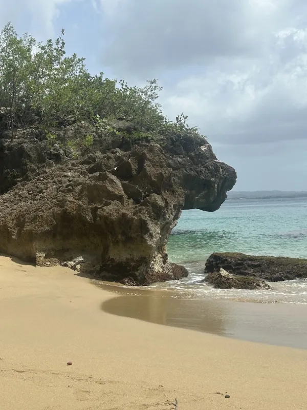
Litoral North Pocket is a small sandy section within Mayaguez's waterfront park on Puerto Rico's western coast. This urban beach area offers scenic views and walking paths along the bay, though swimming quality varies with water conditions. It's popular with local residents for evening strolls and sunset viewing rather than traditional beach activities.
Visitor Tips
- Arrive before 10am to secure the best parking spots and beach locations
- Golden hour (shortly after sunrise or before sunset) provides the best lighting for photos
- Bring your own food and drinks - limited vendors in the area
- Help preserve the beach beauty by taking all trash with you when you leave
- Bring plenty of water - staying hydrated in the tropical heat is essential
History & Background
Litoral North Pocket is a small sandy section within the Litoral de Mayaguez waterfront park, a coastal development project that transformed the shoreline of Puerto Rico's third-largest city. Mayaguez, located on the island's western coast, has a maritime history stretching back to the Taino era, when the area was known as Yaguez, likely derived from a word referencing the clear waters of the river that empties into the bay.
The modern Litoral project emerged from efforts to revitalize the city's waterfront during the early 2000s. The initiative created a linear park along the coast with walking paths, open spaces, exercise stations, and small sandy beach areas. Unlike natural beaches formed by geological processes, the Litoral beaches are products of urban coastal planning. The sand is maintained, the shoreline is shaped by seawalls and fill, and the water quality reflects the urban runoff and bay conditions of a city with over 70,000 residents. The University of Puerto Rico at Mayaguez (UPRM), one of the Caribbean's leading engineering and science institutions, is located nearby and has conducted research on the bay's water quality and coastal dynamics.
The Litoral park represents Mayaguez's ongoing effort to reconnect its residents with the coastline that historically defined the city's identity and served as a center of commercial maritime activity throughout the 18th and 19th centuries.
Best Time to Visit
The Litoral North Pocket is a city park beach, so its usage patterns follow urban recreation rhythms rather than tourist seasons. The best times to visit depend on your preferences for weather and activity level.
- Dry Season (December through April): The most comfortable period for outdoor time in Mayaguez. Mornings are preferable for sitting on the sand, as afternoon sun can be intense. The bay is generally calmer during this period.
- Weekends and Late Afternoons: Peak usage times when residents come for walks, exercise, and socializing. Weekend mornings see joggers and families before the heat intensifies.
- Summer Months (May through November): Heat and afternoon rain showers are more frequent, though they are usually brief and the park drains quickly. Avoid the beach immediately after heavy rain due to water quality effects from runoff.
- Sunset Viewing: A consistent draw throughout the year. The western-facing waterfront offers unobstructed sunset viewing. Arrive 30 minutes before sunset for the best light.
Getting There
The Litoral de Mayaguez waterfront park runs along the coast of central Mayaguez. There are two main routes from major cities: from San Juan via the western highways, or from Ponce via PR-2 north through the western municipalities. The park is located along the waterfront between downtown Mayaguez and the port area.
- From San Juan: Take PR-22 west toward Aguadilla, then PR-2 south into Mayaguez. Drive time is approximately 2.5 hours.
- From Ponce: Take PR-2 north through the western municipalities. Drive time varies but is comparable to the San Juan route.
- Enter Mayaguez and navigate to the waterfront area between downtown and the port.
- The specific North Pocket section is a small sandy area within the larger linear park. Walking paths connect all sections of the waterfront.
Parking is available along the streets adjacent to the park and in small lots near the waterfront with generally no parking fee. The park is accessible on foot from downtown Mayaguez, approximately a 10-minute walk from the main plaza. The park has lighting for evening use and is generally considered safe during regular hours.
What to Bring
Sun and Water Protection:
- Sunscreen and sun hat – essential, particularly in the afternoon when the western-facing orientation puts you directly in the sun's path
- Sunglasses for eye protection
- Water shoes – advisable if you plan to enter the water, as the bottom can include rocks, shells, and urban debris
- Insect repellent – bring for evening hours when mosquitoes become active near the waterfront vegetation
Comfort and Convenience:
- Towel or beach mat for sitting on the sand
- Water bottle to stay hydrated
- The park has seating and walking paths, so a full beach setup with chairs and umbrellas is unnecessary for most visits
Food and Dining:
- You do not need to pack food unless you prefer to picnic at the park, as restaurants and convenience stores are nearby in downtown Mayaguez
- The waterfront area sometimes has food trucks or vendors, particularly during weekend evenings and special events
Nearby Attractions
Downtown Mayaguez is immediately adjacent to the Litoral, offering cultural attractions, dining, and shopping within walking distance. The waterfront area connects to several notable sites and the broader city experience.
- Plaza de Colon – The central square features a statue of Christopher Columbus and is surrounded by shops, restaurants, and the Yaguez Theater, a restored 1909 performance venue that hosts concerts and cultural events
- Parque de los Proceres (Patriots Park) – Located along the Litoral, this park commemorates Puerto Rican political and cultural figures with monuments, walkways, and shaded seating. It connects to the broader waterfront promenade and is a focal point for community events
- University of Puerto Rico at Mayaguez (UPRM) Tropical Agriculture Research Station – A USDA-managed botanical garden with free entry. The grounds feature tropical trees, palms, and plants from around the world with shaded walking paths
- Ricomini Bakery – A longstanding institution famous for brazo gitano (rolled cake) and traditional Puerto Rican baked goods
- Joyuda seafood strip – Located in neighboring Cabo Rojo about 20 minutes south on PR-102, offering fresh seafood dining options
Local Tips
- Adjust expectations appropriately: The Litoral North Pocket is best understood as a city park with beach elements rather than a beach destination. The sandy area is small, the water is bay water with urban influences, and the surroundings are built environment. Its value is in providing Mayaguez residents with coastal access and visitors with a pleasant waterfront walk.
- Sunset watching is exceptional: One of the best free activities in western Puerto Rico. The unobstructed western horizon puts on a show most evenings, with colors reflecting off the bay. Arrive 30 minutes before sunset to find a spot on the seawall or park benches.
- Exercise urban awareness after dark: The park is well-lit and sees foot traffic into the evening hours, but avoid isolated sections of the waterfront after dark, particularly on weeknights when fewer people are around.
- Combine with downtown Mayaguez for a fuller experience: If you are visiting Mayaguez specifically for beaches, better swimming and sand options exist north toward Anasco and Rincon or south toward Cabo Rojo and Boqueron. The Litoral is best paired with a walk through downtown, a meal at a local restaurant, and a visit to the botanical gardens for a well-rounded Mayaguez experience.
Visitor Photos
Sign in to addNo photos yet. Be the first to share!
Reviews
No reviews yet. Be the first to share your experience!
Conditions
5 months agoLive Updates
No recent crowd data
Amenities
Practical Info
No lifeguards are present. Swim at your own risk and never swim alone. Apply waterproof sunscreen regularly - the tropical sun is strong. Check weather conditions before visiting, especially during hurricane season (June-November).