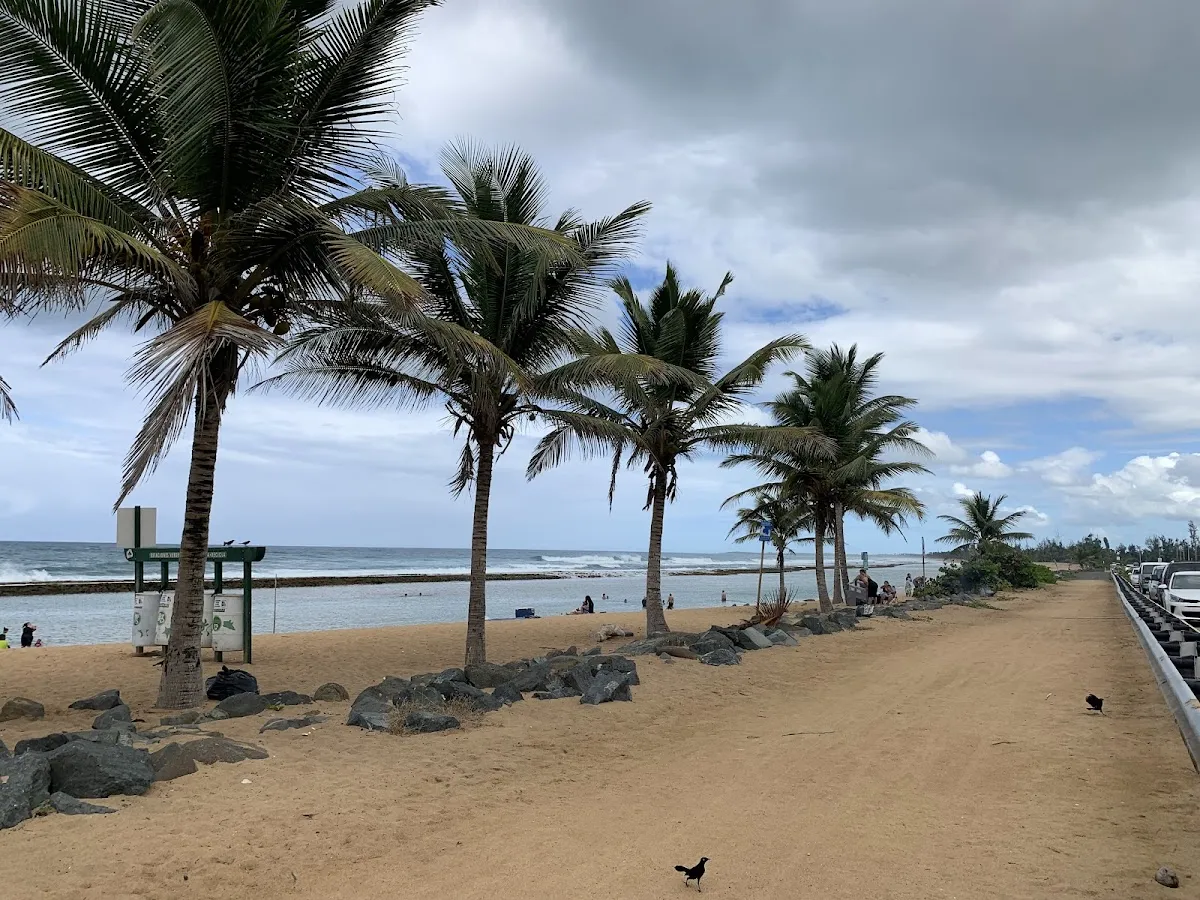
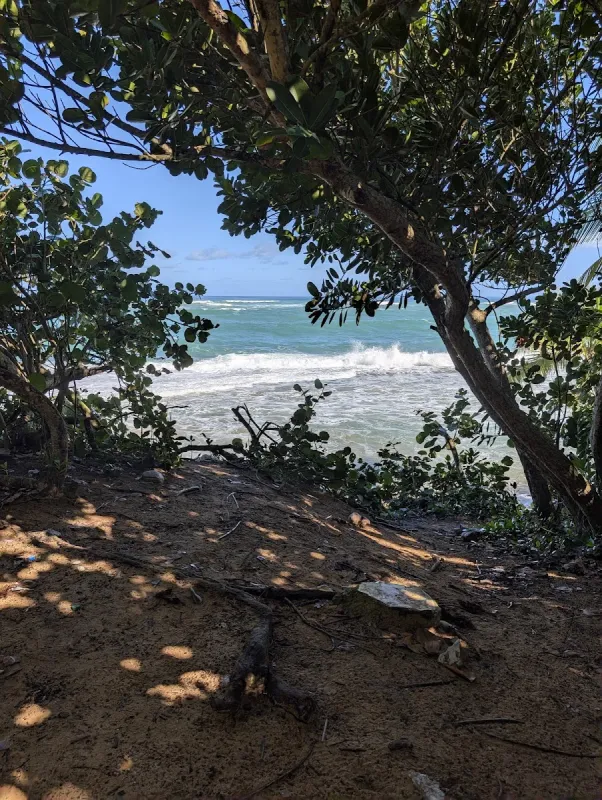
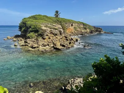
Cueva María de la Cruz Shore is a beach in Loiza, Puerto Rico, known for scenic views. Facilities include parking.
- Scenic
- ✓ Parking
Short walk from parking.
Best season: December through April offers the most pleasant weather with lower humidity.
Short walk from parking.
Swim with a buddy and know your limits.
Parking is available short walk from parking.
Bring water, shade, and food for the day.
Ways to experience Cueva María de la Cruz Shore
Bookable tours and activities at and around this beach.
 Viator photoPopular near this beachPrivate: Piñones Beach Buggy Adventure + El Yunque WaterfallsCelebrate unforgettable moments on a private tour exclusively for you and your group, with personal attention from your dedicated guide. Start your…◷ About 6 hours✓ Free cancellationFrom $265Check availability ↗Browse more tours on Viator ↗
We may earn a commission when you book through Viator links, at no extra cost to you.
About Cueva María de la Cruz Shore
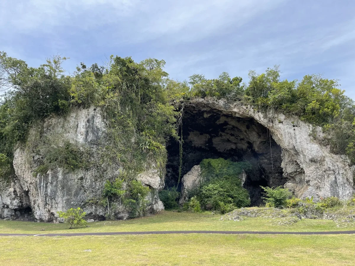
Cueva María de la Cruz Shore in Loíza, Puerto Rico is a scenic coastal area centered around an important archaeological cave site with evidence of human settlement dating back 1,500-2,000 years. The narrow beaches and rocky outcroppings reflect layers of pre-Ceramic, Taíno, and Afro-Puerto Rican heritage. This undeveloped stretch along PR-187 offers cultural significance and natural beauty in the heart of Puerto Rico's African heritage center.
Local tips
What to Bring+
Footwear & Protection:
- Sturdy closed-toe shoes are essential for exploring the cave area and rocky coastal terrain. Limestone formations have sharp edges and paths can be uneven and slippery. Sport sandals with good traction are an acceptable alternative.
- Bug spray with DEET or picaridin is important due to proximity to mangrove and wetland areas where mosquitoes are abundant, especially at dawn, dusk, and after rainfall
- Sunscreen (SPF 50+) is necessary for time on exposed shore sections. Reef-safe formulations are preferred given the proximity to marine habitat
Supplies & Gear:
- Water and food – bring your own; no vendors or facilities at this shore. Nearest food options are Piñones kiosks (15–20 minutes west) offering alcapurrias, bacalaítos, and traditional fried snacks
- Flashlight or headlamp if you want to explore inside the cave, though the interior is relatively shallow and receives natural light
- Small daypack works better than a beach bag for rocky terrain rather than flat sand
History & Background+
Cueva María de la Cruz Shore takes its name from one of the most significant archaeological sites in Puerto Rico. The cave was excavated in 1948 by archaeologist Ricardo Alegría, uncovering evidence of human habitation dating back approximately 1,500 to 2,000 years, making it one of the earliest confirmed sites of pre-ceramic human settlement on the island.
The artifacts recovered included stone tools, shell implements, and food remains that revealed the diet and daily life of Archaic-age inhabitants who preceded the Taíno civilization. Loíza holds a unique position in Puerto Rican culture as the center of Afro-Puerto Rican heritage. The town was named after Luisa, a Taíno cacica (female chief). After Spanish colonization, enslaved Africans were brought to work the sugar cane fields, and their descendants maintained West African cultural traditions including bomba music, vejigante mask-making, and the Festival de Santiago Apóstol held each July.
The coastline reflects this layered history—continuously inhabited for thousands of years by Archaic peoples, Taíno communities, enslaved Africans, and their descendants. PR-187 follows a route that has served as a pathway between coastal settlements for centuries, predating the Spanish road system and connecting the Piñones ecological corridor to the town of Loíza.
Nearby Attractions+
Several attractions are within a short distance along PR-187 and in the Loíza municipality, offering cultural, culinary, and natural experiences that complement a visit to Cueva María de la Cruz Shore.
- Piñones boardwalk and kiosk area (15 minutes west): Row of food stalls serving traditional Puerto Rican beach snacks—alcapurrias, bacalaítos, and piononos—made to order at low prices
- Loíza town center (10 minutes east): Contains the Iglesia de San Patricio, one of the oldest churches in Puerto Rico dating to the late 1600s, and the Artesanías Castor Ayala workshop producing traditional coconut shell vejigante masks recognized as Afro-Puerto Rican cultural artifacts
- Bosque Estatal de Piñones nature reserve (west along PR-187): Encompasses mangrove forests, lagoons, and coastal dunes; the boardwalk trail offers ecosystem perspective, and kayak rentals are available for exploring the lagoon system
- Vacía Talega Beach (10 minutes east, Loíza): Offers a wider sandy stretch more suitable for swimming and sunbathing than the narrow shore near the cave, with a less developed, more local atmosphere
Photos
Be the first to add a photo
Recent photos help others recognize the access point, water, and parking setup.
Reviews
No Puerto Rico Beach Finder reviews yet
Share whether access was easy, how the water felt, and what the next person should know.
Planning your visit
Explore by activity
Nearby beaches

Questions
Where is Cueva María de la Cruz Shore located?
Cueva María de la Cruz Shore is located in Loiza, Puerto Rico. The exact coordinates are 18.4413, -65.9017. You can use GPS navigation or follow signs to Loiza and look for beach access points.
Is Cueva María de la Cruz Shore good for swimming?
Yes, Cueva María de la Cruz Shore is a public beach open for swimming.
What facilities are available at Cueva María de la Cruz Shore?
Cueva María de la Cruz Shore offers the following facilities: Parking.
What activities can I do at Cueva María de la Cruz Shore?
Popular activities at Cueva María de la Cruz Shore include swimming, relaxing, sunbathing. The beach is perfect for a day trip from Loiza.
Is there parking at Cueva María de la Cruz Shore?
Yes, Cueva María de la Cruz Shore has parking available.
Similar beaches
Discover more beaches
Explore 400+ beaches across the island with filters, maps, and detailed guides.
Explore all beaches