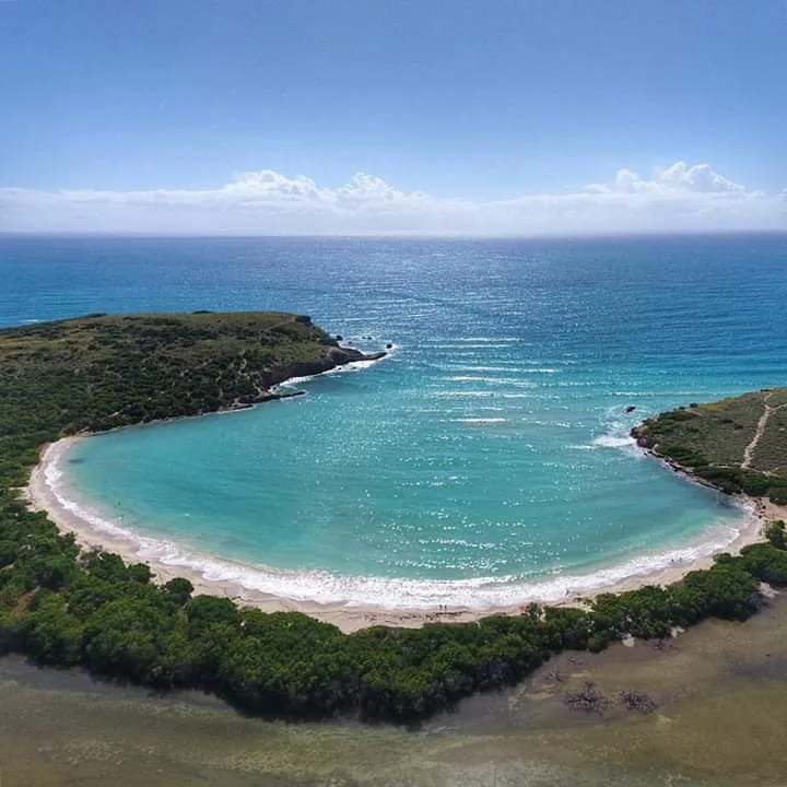
Bahía Sucia Flats is a beach in Cabo Rojo, Puerto Rico, known for scenic views.
- Scenic
Hike via trail.
Best season: December through April offers the most pleasant weather with lower humidity.
Hike via trail.
Swim with a buddy and know your limits.
Access requires a hike from the nearest parking area. Park at the designated trailhead and follow the marked path to the beach.
Bring water, shade, and food for the day.
Ways to experience Bahía Sucia Flats
Bookable tours and activities at and around this beach.
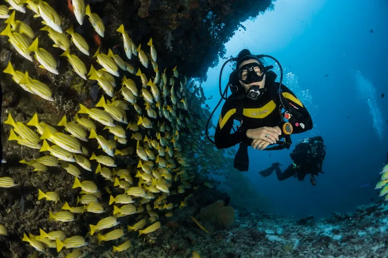
 Viator photoPopular Puerto Rico experienceAguadilla Tropical SnorkelingWe both love spending time in the ocean, that being surfing, bodysurfing, scubadiving, and swimming keeping safety our #1 priority, in order to have…◷ About 2 hours✓ Free cancellationFrom $98Check availability ↗Browse more tours on Viator ↗
We may earn a commission when you book through Viator links, at no extra cost to you.
About Bahía Sucia Flats
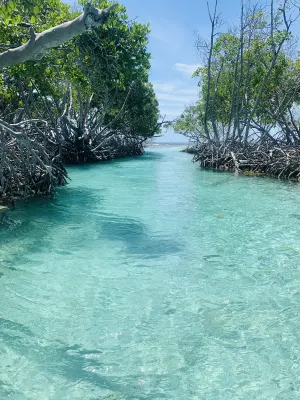
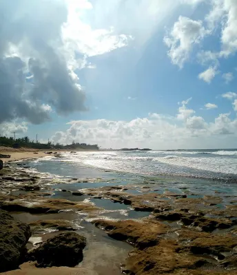
Bahía Sucia Flats in Cabo Rojo, Puerto Rico, features shallow coastal flats and sand tongues near La Playuela with scenic views of the Caribbean Sea. This southwestern destination offers stunning landscapes perfect for photography, with the characteristic dry climate and salt flats of the region. Water conditions vary, making it ideal for exploring the unique coastal geography of Cabo Rojo's most visually striking areas.
Local tips
What to Bring+
Para fotografía y exploración:
- Cámara con batería extra
- Trípode para fotos de atardecer
- Binoculares para vistas costeras
Protección solar y seguridad:
- Protector solar resistente al agua (SPF 30 o superior, seguro para arrecifes)
- Sombrero o gorro para protección solar
- Ropa protectora UV si es posible
Comida y agua:
- Mucha agua potable en una nevera portátil (no hay vendedores)
- Comidas y refrigerios empacados
- Paraguas de playa o tienda emergente (sombra natural limitada)
Seguridad adicional:
- No hay salvavidas presentes; nada bajo su propio riesgo
- Nunca nade solo
- Verifique las condiciones climáticas antes de visitar
History & Background+
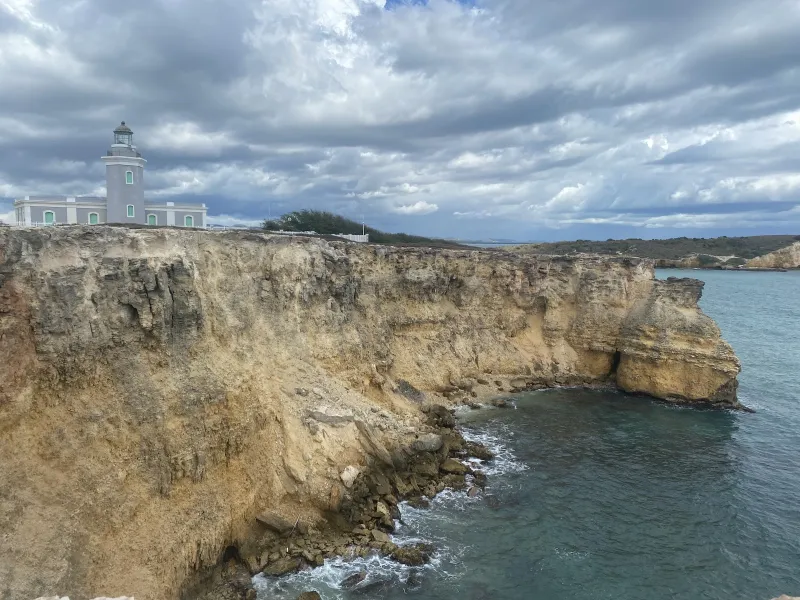
Bahía Sucia Flats se encuentra en el municipio de Cabo Rojo, el municipio del suroeste de Puerto Rico conocido por sus salinas, el Faro de Los Morrillos y puestas de sol espectaculares. En la punta más suroeste de Puerto Rico, esta área enfrenta el mar Caribe con aguas cálidas y condiciones generalmente tranquilas. El clima árido crea un paisaje distintivo del resto de la isla, donde las salinas y la vegetación de matorral se encuentran con la costa.
Bahía Sucia Flats es uno de los destinos costeros más visualmente impresionantes de Cabo Rojo. Las llanuras poco profundas y las lenguas de arena cerca de La Playuela ofrecen vistas costeras espectaculares y paisajes pintorescos perfectos para fotografía. El municipio de Cabo Rojo tiene raíces profundas en la historia de Puerto Rico, y playas como esta reflejan la relación continua entre las comunidades costeras y el mar.
Nearby Attractions+
Bahía Sucia Flats se encuentra en Cabo Rojo, que ofrece varias atracciones más allá de la playa. El área tiene mucho que ofrecer a los visitantes que deseen explorar más allá de la costa.
- Faro de Los Morrillos: Icónico punto de referencia con vistas panorámicas
- Salinas de Cabo Rojo: Paisajes salinos únicos y patrimonio histórico
- Playas cercanas: Playa Lamela, Playa Tanga y Balneario de Boquerón ofrecen diferentes características
- Municipio de Lajas: Ubicado a corta distancia para exploración adicional
- Centro de Cabo Rojo: Plaza central con iglesia, tiendas locales y cafés para experimentar la vida cotidiana puertorriqueña
- Restaurantes locales y chinchorros: Mariscos frescos, mofongo, tostones y empanadillas a precios asequibles
- Festivales locales: Las fiestas patronales durante todo el año presentan música en vivo, comida y actuaciones culturales
Photos
Be the first to add a photo
Recent photos help others recognize the access point, water, and parking setup.
Reviews
No Puerto Rico Beach Finder reviews yet
Share whether access was easy, how the water felt, and what the next person should know.
Planning your visit
Explore by activity
Nearby beaches


Questions
Where is Bahía Sucia Flats located?
Bahía Sucia Flats is located in Cabo Rojo, Puerto Rico. The exact coordinates are 17.936, -67.189. You can use GPS navigation or follow signs to Cabo Rojo and look for beach access points.
Is Bahía Sucia Flats good for swimming?
Yes, Bahía Sucia Flats is a public beach open for swimming.
What facilities are available at Bahía Sucia Flats?
Bahía Sucia Flats is a natural beach. Facilities may be limited, so consider bringing your own supplies.
What activities can I do at Bahía Sucia Flats?
Popular activities at Bahía Sucia Flats include swimming, relaxing, sunbathing. The beach is perfect for a day trip from Cabo Rojo.
Is there parking at Bahía Sucia Flats?
Parking near Bahía Sucia Flats may be limited. It's recommended to arrive early, especially on weekends and holidays.
Similar beaches
Discover more beaches
Explore 400+ beaches across the island with filters, maps, and detailed guides.
Explore all beaches