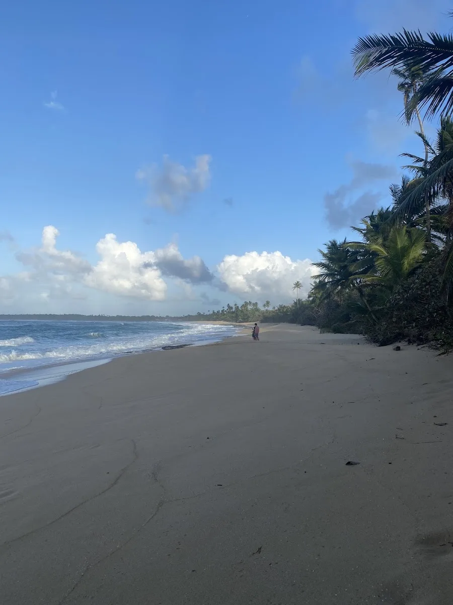
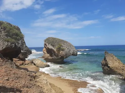
Playa Tortuguero is a secluded beach in Manati, Puerto Rico, known for scenic views and its secluded atmosphere. A scenic, secluded stretch of northern Puerto Rico coastline between Vega Baja and Manatí, situated across from Laguna Tortuguero. Facilities include parking.
- Fishing
- Scenic
- Secluded
- ✓ Parking
Short path.
Visit during the dry season from December through April for the clearest views and most comfortable conditions…
Swimming in the Atlantic at this location is extremely dangerous due to powerful currents, large breaking waves, and a rocky shoreline with no safe entry point.
Swim with a buddy and know your limits.
A parking area near the Nido del Aguila overlook sits off the main road with a small paved lot holding space for about ten cars. Parking is free and rarely fills since the area receives modest visitor numbers even on weekends. The access road from the main highway is paved and suitable for any vehicle type without concern.
Bring water, shade, and food for the day.
Ways to experience Playa Tortuguero
Bookable tours and activities at and around this beach.
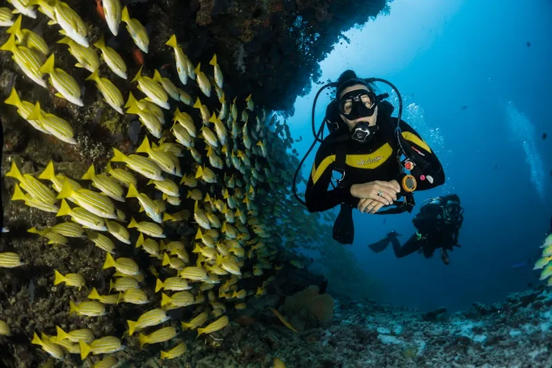
 Viator photoPopular near this beachSan Juan: Small-Group Snorkeling Experience with PickupDon't let other companies fool you! Transportation, entrance fees and gear are included in our price! Book with us, save money and feel relief!…✓ Free cancellation✓ Gear includedFrom $94Check availability ↗Browse more tours on Viator ↗
We may earn a commission when you book through Viator links, at no extra cost to you.
About Playa Tortuguero
A scenic, secluded stretch of northern Puerto Rico coastline between Vega Baja and Manatí, situated across from Laguna Tortuguero. The Nido del Águila overlook offers sweeping panoramic views of both the lagoon and Atlantic Ocean. Strong currents and dangerous rip tides make swimming hazardous, but the area is popular for fishing, kayaking, and birdwatching. The beach retains its quiet, natural character as a working coastline with rich ecological and cultural heritage.
Local tips
What to Bring+
Safety & Water Gear
- Do NOT bring snorkel gear — swimming is dangerous due to strong currents and rip tides. Leave water recreation equipment at your hotel.
- Binoculars — the single most valuable item for birdwatching around the lagoon and along the coast.
- Bird identification guide or app — helps with species identification during migrations.
Photography & Viewing
- Camera with zoom lens — to capture views from Nido del Águila and the contrast between lagoon and ocean.
- Polarizing filter — cuts glare on water surfaces for clearer images.
Sun & Weather Protection
- Reef-safe sunscreen — critical along this exposed coastline.
- Hat and UV-protective clothing — minimal shade structures exist on the beach.
- Pop-up canopy — useful if spending hours fishing or observing wildlife.
- Lightweight rain jacket — handles sudden showers that roll in off the Atlantic.
Hydration & Insect Protection
- Plenty of water — no vendors or concession stands along the beach.
- Insect repellent — important near the lagoon, where mosquitoes can be aggressive at dawn and dusk.
- Water shoes with good grip — if kayaking, protects feet on rocky launch areas around the lagoon.
History & Background+
Playa Tortuguero occupies a stretch of the northern Puerto Rico coast where the municipality of Manatí meets Vega Baja, directly across the coastal road from Laguna Tortuguero, one of the island's most significant freshwater bodies. The lagoon and surrounding wetlands have been central to the ecology and economy of this region for centuries. Taíno communities inhabited these coastal lowlands before European contact, drawn by the rich fishing grounds in both the lagoon and the ocean.
Spanish colonizers recognized the agricultural potential of the flat coastal plain, establishing sugar cane haciendas that would dominate the landscape through the nineteenth century. The Tortuguero area remained somewhat marginal for large-scale agriculture due to swampy terrain, instead serving as fishing and foraging grounds for local communities. The lagoon's name derives from the tortugas (turtles) that once populated its waters in greater numbers. Laguna Tortuguero is a rare coastal dune lake, designated a nature reserve in the 1970s and managed by the DRNA to protect migratory birds, manatees, and freshwater species.
Throughout the twentieth century, local fishing traditions persisted even as Puerto Rico's economy shifted toward manufacturing and tourism. The Nido del Águila observation point, perched on the dunes between lagoon and sea, has become a popular destination for panoramic views. In recent decades, environmental groups have focused on coastal erosion and development pressure, with the fragile dune system remaining relatively undeveloped compared to nearby tourist beaches. Today, the area serves as an outdoor classroom for studying coastal ecology.
Nearby Attractions+
Several worthwhile attractions complement a visit to Playa Tortuguero, ranging from outdoor water activities to cultural and archaeological sites.
- Laguna Tortuguero Nature Reserve — Kayaking on the lagoon offers close encounters with mangrove forests, resident spectacled caimans, and a variety of waterbirds. Guided kayak tours are available through local outfitters in the Manatí and Vega Baja area.
- Manatí Town Center — Located roughly 15 minutes south by car, features a traditional plaza with the Nuestra Señora de la Candelaria church and local restaurants serving authentic Puerto Rican fried snacks like alcapurrias and bacalaítos.
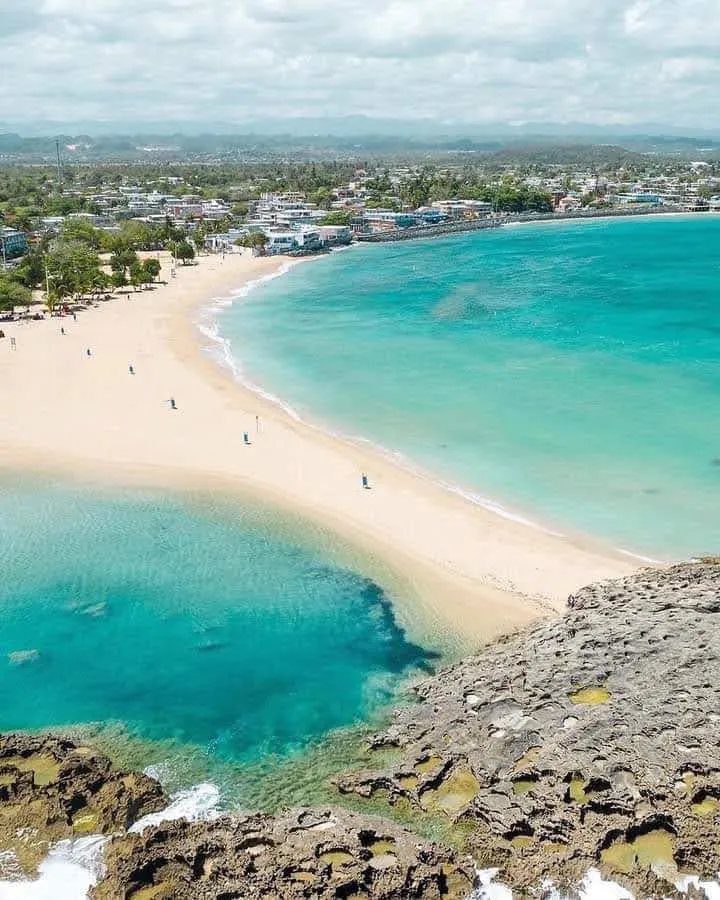
- Mar Chiquita — Located a few kilometers east along the coast in Manatí, this unique circular beach is enclosed by limestone cliffs where the ocean funnels through a narrow opening. It draws larger crowds but is worth visiting for its unusual geology.
- Cueva del Indio — Located in Arecibo, about 20 minutes west, this archaeological site preserves Taíno petroglyphs carved into seaside limestone formations. The short trail along the cliffs offers dramatic coastal views.
- Arecibo Lighthouse and Historical Park — Located farther west, provides a family-friendly overview of Puerto Rico's maritime heritage and additional coastal scenery.
Photos
Be the first to add a photo
Recent photos help others recognize the access point, water, and parking setup.
Reviews
No Puerto Rico Beach Finder reviews yet
Share whether access was easy, how the water felt, and what the next person should know.
Planning your visit
Explore by activity
Nearby beaches



Questions
Where is Playa Tortuguero located?
Playa Tortuguero is located in Manati, Puerto Rico. The exact coordinates are 18.469112, -66.458782. You can use GPS navigation or follow signs to Manati and look for beach access points.
Is Playa Tortuguero good for swimming?
Yes, Playa Tortuguero is a public beach open for swimming.
What facilities are available at Playa Tortuguero?
Playa Tortuguero offers the following facilities: Parking.
What activities can I do at Playa Tortuguero?
Popular activities at Playa Tortuguero include fishing. The beach is perfect for a day trip from Manati.
Is there parking at Playa Tortuguero?
Yes, Playa Tortuguero has parking available.
Similar beaches

Discover more beaches
Explore 400+ beaches across the island with filters, maps, and detailed guides.
Explore all beaches